Polar vortex set to freeze the U.S. as far as the Deep South
With the Northern Hemisphere well into the winter months, it may seem like temperatures are cold enough already. However, a deep freeze, thanks to the polar vortex dipping down from Siberia, is about to bring even harsher arctic blast to nearly 300 million Americans starting this weekend. Maps show where and when the cold front will arrive.
Map of mid-January temperature outlook
The polar vortex is a large area of cold air and low pressure that normally spins over the North and South Poles. During the winter months and when the jet stream allows, this cold air can drop farther down into lower latitudes like in the United States. This is forecast to happen as soon as this weekend.
Map of Saturday highs and wind chills
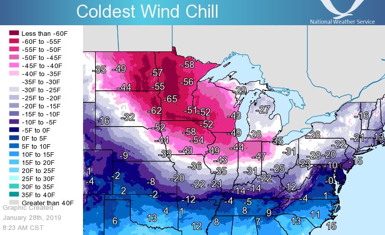
Beginning Saturday, the polar vortex will begin to dip down into the northern tier of the U.S., dropping temperatures into the single digits. Wind chills will already be dropping into the negative teens for that region. Forecast temperatures will be 20-25 degrees below average for this time of year.
Map of Sunday highs and wind chills
On Sunday, the chills really start to kick in, with temperatures dropping into the teens across the Central Plains. Wind chills will be down to the negative 20s in the Northern Plains and single digits for the Central Plains, making for dangerously cold conditions for those attending NFL playoff games. Forecast temperatures will be 25-30 degrees below average for this time of year.
Map of Monday highs and wind chills
On Monday, the polar vortex will reach the Deep South, with temperatures down to the freezing point of 32 degrees Fahrenheit in Atlanta. Wind chills will be in the 20s. Across the Rockies, Plains and Midwest, some areas won’t make it out of the single digits.
At least 19 record-cold high temperatures are expected from the Plains into the East. Forecast temperatures will be 25-30 degrees below average for this time of year.
Inauguration Day weather forecast for Washington, D.C.
For the presidential inauguration on Monday in Washington, D.C., skies will be mostly sunny, with temperatures in the low 20s. Wind chills are forecast to be in the single digits.
Due to the extreme cold, President-elect Donald Trump announced Friday that the ceremony will be held indoors, in the Capitol Rotunda, instead of the stage that had been set up outside.
“There is an Arctic blast sweeping the Country,” Trump wrote on Truth Social. “I don’t want to see people hurt, or injured, in any way.”
This will mark the coldest Inauguration Day in 40 years. In 1985, it only reached 7 degrees for President Ronald Reagan’s second swearing in, causing the ceremony to move indoors and the parade to be canceled.

